
MultiCAST: Multiscale Thermal-related Urban Climate Analysis and Simulation Tool
Status \ Uprunning (May 2022 / April 2025) – 36 Months
Funding programme \ H2020-MSCA-IF-GF-2020 Horizon 2020 – Marie Skłodowska-Curie Actions – Individual Fellowship | Global Fellowship
Project budget \ € 251.002,56
Beneficiary \ Department of Architecture and Urban Studies (DAStU), Politecnico di Milano
Keywords \ GIScience, Remote Sensing, Urban Climate, Urban Heat Island, Outdoor Comfort, Pedestrian Flows Modelling, Walkability, Climate Planning, Climate Design, Decision Support System, Climate Change
Scientific Area \ Environmental and Geosciences
Descriptors \ Spatial and regional planning (including landscape and land management), GIS, Earth observations from space/remote sensing, Urbanization and urban planning, Cities
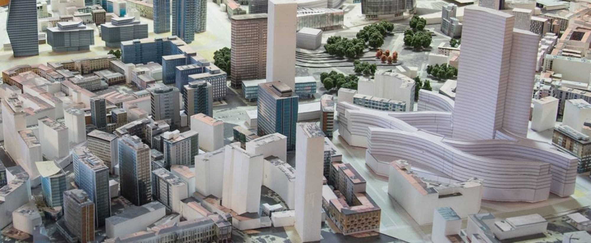
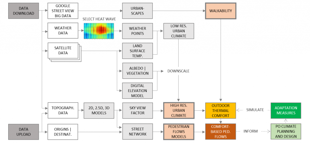
Climate change and global warming are widely recognized as primary challenges in the next years. Indeed, despite several international agreements, CO2 and global heating continue growing and, in urban areas, increase of temperatures and frequency of heat waves, threaten health and well-being of citizens. Here, the loss of natural areas, morphological and thermal properties of materials, critically affect urban climate, causing city to be warmer than surrounding areas. This phenomenon, known as Urban Heat Island (UHI), needs to be carefully addressed. To address public health and well-being, soft mobility and public transport are increasingly promoted by Cities. Also, the current sanitary contingency has further urged such policies. But, longer and hotter summers are a deterrent for citizens to living outdoors. MultiCAST will implement a thermal comfort-related urban Decision Support System (DSS) to inform pedestrian oriented climate planning and design. The DSS will rely on a user-friendly Web-GIS as mainstreaming tool to respond the UHI into urban programs, policies and instruments. A novel approach to incorporate geo-referenced outdoor climate and walkability into pedestrian flows modelling will be developed. It will rely on replicable methods for automatic acquiring and mapping precise and updated thermal related urban climate data, estimate walkability based on Google Street View urban-scapes, then introducing climate and walkability into street network analysis. MultiCAST will support modelling walking routes to interest points such as commuter rail and -metro stations, or ‘hot’ and ‘cool’ islands. A simulation function will allow estimate scenarios, compare and visualize the effects of different urban climates. Three urban areas will be tested in Los Angeles, Amsterdam, and Milan. Open climate datasets will be available through the Web-GIS. Besides, a framework of GIS data, procedures, scripts, and manuals will be provided to allow replicate the methodology.
Team:
Principal Investigator: Nicola COLANINNO (POLIMI)
Supervisor: Eugenio MORELLO (POLIMI)
Participants/Co-Supervisors:
Andres SEVTSUK (MIT),
Daniel DAVILA (Data Urbana)
Alessandro BOZZON (TU Delft)
Research Structures – Partnership
Lab. di Simulazione Urbana Fausto Curti – Polimi
City Form Lab – MIT (http://cityform.mit.edu/)
Data Urbana (https://dataurbana.com/)
Department of Sustainable Design Engineering of the Faculty of Industrial Design Engineering – TU Delft (https://www.tudelft.nl/en/ide/about-ide/departments/sustainable-design-engineering/)
Methodology overview
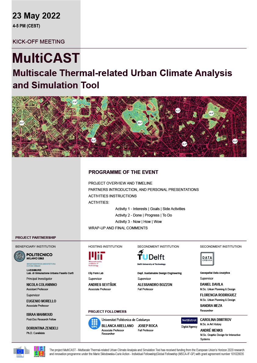
Kick-Off Meeting 23 May 2022
![]()