Staff – Assistant Professor and Marie Skłodowska-Curie Fellow
 An architect by education, and PhD cum laude in Urban and Architectural Management and Valuations at Polytechnic University of Catalonia (UPC), Spain; I am currently (since 2017) a Research Fellow at Politecnico di Milano and adjunct Professor in Analysis of the City and Territory (2020/2021). My research interests and main achievements focus on Urban Studies and GIScience, with a special focus on Urban Climate Analysis, Planning and Design. In 2021, I achieved a H2020 Marie Skłodowska-Curie Individual/Global Fellowship Action (MSCA) for the project MultiCAST: Multiscale Thermal-related Urban Climate Analysis and Simulation Tool, to be developed from 2022 to 2025 with Politecnico di Milano, as beneficiary, and MIT as host institution.
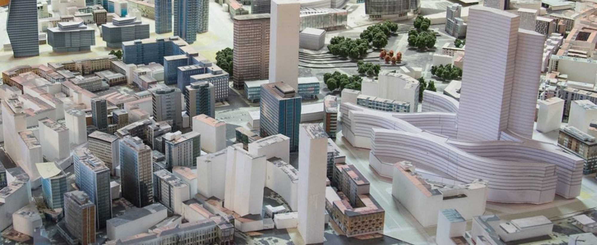
During my current position at Politecnico di Milano, I have designed an effective methodology for modelling Near-Surface Air Temperature (NSAT) combining weather station data and satellite-derived optical and thermal imagery. NSAT has been effectively used for Urban Climate planning and design as microclimate modelling approach for assessing the impact of urban forestation and NBS integration into the urban environment, and to inform decision making. Besides, I have supported the mainstreaming of climate adaptation into spatial planning tools for the Metropolitan City of Milan.
After graduating, I achieved a postgraduate Master’s in urban management and Valuations at UPC, financed by the Regional Government of Puglia (Italy), through a scholarship grant for European Masters abroad. Then, I developed my Ph.D. at UPC under different national projects, financed through a 4-years scholarship grant by the Spanish Government.
During the Ph.D., I developed my research at the Virtual City Modelling Lab (LMVC-UPC) under the Centre of Land Policy and Valuations (CPSV). I also obtained additional funding for the secondment stage of the Ph.D. to be undertaken as visiting researcher at the Dept. of Geography, Planning, and International Development Studies of University of Amsterdam (UvA), Netherlands, during the academic year 2009/2010. My main achievements during the Ph.D. are the setting up of an original method for Land Cover classification through satellite-derived remotely sensed data and an approach for automatically clustering different urban patterns based on morphometrics.
From 2013 to 2016, I was self-Employed in the field of Technical Services of Engineering, and Specialist in Remote Sensing (RS), Geographical Information Systems (GIS), and spatial analysis. During this period, I explored the private sector as possible exploitation of my work. I used my method for Land Cover classification, and Open-Source software, to support different works, including the UN-Habitat City Prosperity Index; and the development of a Base Plan for the city of Jacmel, Haiti, based on the model for base planning developed within the UIA-CIMES Programme and the UNESCO Chair on Intermediate Cities, in coordination with UN-Habitat.
Engaged in the following projects at Labsimurb:
AP+A
AIR-BREAK
Verso Paesaggi a prova di clima
Milan Urban Forestation
Cambiamenti Climatici e Territorio